
Mauritius weather today brings a mix of cool winter conditions, powerful winds, and serious sea warnings, details no tourist should ignore. Whether you’re visiting for the beaches or planning to tour the island, here’s the latest update and what it means for your travel plans.
Key details: Weather Warnings and Timings
- Strong wind and heavy swell warning in force until 10:00 Monday, August 31, 2026
- Winds: Southeast, 35, 45 km/h with gusts up to 90 km/h
- Sea conditions: Very rough beyond reefs, swells 4, 6 m, especially West and South coasts
- Maximum temperatures: Highgrounds 17, 20°C, coasts 23, 25°C
- Minimum temperatures tonight: Central plateau 13, 15°C, coasts 16, 18°C
- Possible light rain: Mainly East, South, and highgrounds
- High tides: Today 13:37, Sunday 01:35
- Sunrise: 06:21. Sunset: 18:00
Today’s Forecast: What Tourists Need to Know
Mauritius is currently under the influence of a powerful anticyclone southwest of the Mascarenes. This means the entire island is experiencing very windy, colder-than-average winter weather, with rough seas and the risk of coastal flooding in some parts.
If you’re staying near the coast or planning beach outings, prioritise safety. Expect partly cloudy to cloudy skies, with some light rain possible in the east, the south, and over the high plateaus. Daytime temperatures around the coast will feel pleasant (23, 25°C), but central areas like Vacoas will be chilly, maximums there just 17, 20°C.
Mauritius Trip Planner
Where It’s Wet, Where It’s Windy
Latest readings this morning showed cloudy 26°C conditions in Port Louis, cloudy 21°C at Plaisance (airport), and fine but brisk 18°C up in Vacoas. Wind is strongest along southern and eastern coasts and especially fierce on exposed high ground.
Strong Winds and Dangerous Seas: Safety First
It’s not just another breezy day. The official weather warning remains in effect through Monday morning. Southeast winds could gust up to 90 km/h, which means unsecured objects, even palm fronds, can become dangerous projectiles. I’ve seen bins toppled and street signs shaking on days like this.
Practical safety advice for tourists:
- Stay away from beaches during high tide, especially on the West and South coasts.
- Do not go out at sea, whether boating, fishing, or joining excursions, until the warning has lifted.
- Watch for flying debris, especially if walking or driving in open or exposed areas.
- If driving, slow down on roads exposed to crosswinds, some main highways near the coast get gusty quickly.
- Avoid rooftop, antenna, or high structure maintenance during windy periods.
Fishermen and pleasure-craft users, as well as anyone planning water sports, should fully suspend activities for the rest of the weekend. The Meteorological Services strongly advise not to venture out at sea or along exposed beaches during this time.
Do These Conditions Affect Your Plans?
If your holiday plans included catamaran trips or coastal hikes, today’s rough sea and gusty wind warnings mean most operators will cancel or postpone tours for safety reasons. Even on land, plan for cooler, sometimes damp weather. I always recommend a windbreaker or light rain jacket if you’re headed to the hillier regions or taking a Pamplemousses garden walk, it gets chilly fast.
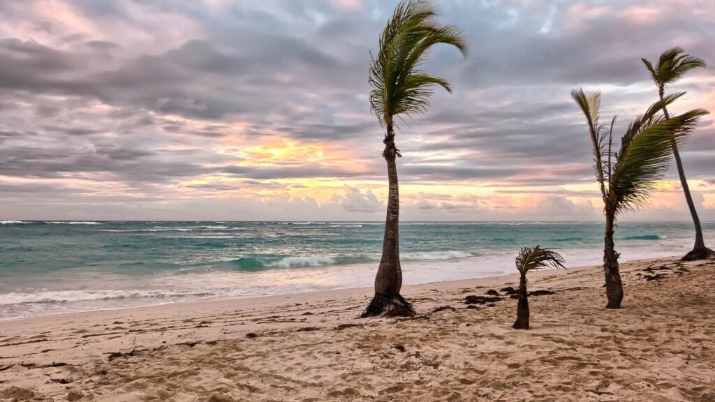
This is still prime dry season, so rain is generally light and short. But do respect the sea: Mauritius, even now in winter, has some of its most impressive surf and tidal surges after big winds roll over the island. If you’re a photographer, the coastline is wild and dramatic on afternoons like these, but keep a safe distance from the waterline.
Useful Links and More Info
- Official daily forecast from Mauritius Meteorological Services
- Storm warning and sea safety update: August 28
Check updated coastal safety notices at your hotel front desk or from local police in Port Louis and Flic en Flac if you need latest advice for your area.
Source: Mauritius Meteorological Services
Frequently Asked Questions
Is it safe to swim or go boating in Mauritius today?
No, a strong wind and heavy swell warning is in effect until August 31. The public is strongly advised to stay off the sea and avoid beaches, especially on the South and West coasts.
What are the temperatures like across Mauritius today?
Expect maximum temperatures of 17–20°C on the highgrounds and 23–25°C along the coasts. Evenings and nights are cooler, especially inland.
Where is the weather worst today?
The strongest winds and roughest seas are along the West and South coasts, and on exposed highlands. Rain is likely in the east, south, and high plateaus.
Will these conditions affect planned tours and boat trips?
Yes, most sea activities and coastal excursions will be cancelled or postponed until the warning lifts.
Plan your tours for calmer days—MauritiusEvents.com has great inland and cultural excursions perfect during rough sea warnings.
Discover catamaran cruises & sea trips →