
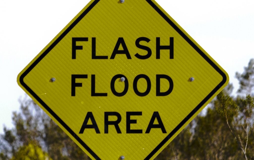

The government of Mauritius has spotlighted Mauritius flood risk zones at the top of this year’s safety agenda as the island braces for the 2026-2027 rainy season. If you’re traveling here in the next months, knowing about these high-risk areas and the government’s new measures may impact your plans, especially if your accommodation is in one of the flagged towns or neighbourhoods.
Key details for tourists
- 72 very high flood risk zones are officially identified across Mauritius for the 2026-2027 rainy season.
- Latest government measures announced: September 25, 2026.
- Major affected tourist areas: Grand Baie-Pereybère, Flic en Flac, Pointe-aux-Sables, Bel Ombre, Coromandel, Port Louis (including Rivière-du-Pouce, Canal Dayot, Rivière-Lataniers), Vacoas, Quatre Bornes, and more.
- Government budget for prevention: Rs 125 million in 2026 for cleaning drains and rivers; Rs 101 million was spent in 2025-2026.
- New/upgraded flood evacuation systems being installed in most vulnerable areas.
- All locals and visitors are urged: do not throw waste in drains or rivers, littering greatly increases flooding risk.
Understanding the Mauritius flood risk zones
Every year, as warmer, wetter weather sets in from November, the risk of flash floods and waterlogged roads jumps, especially in areas with poor drainage. This isn’t just a local issue: in 2021 alone, more than 50 severe flood events struck the island (see FloodList), some impacting tourist hotspots and disrupting travel.
For the 2026-2027 season, the Land Drainage Master Plan has mapped 72 critical flood-prone zones. Among those, Grand Baie, Flic en Flac, Pointe-aux-Sables, Vacoas, Quatre Bornes, and sectors of Port Louis (like Canal Dayot and La Paix) are frequented by tourists. Others, such as Bel Ombre and Camp-Caval near Curepipe, are known for lush resorts and hiking retreats. Authorities warn that even a relatively moderate rainy episode can push some of these places into temporary chaos until waters drain away, especially if runoff is blocked by garbage.
Mauritius Trip Planner
Why this matters for your holiday
Nobody wants a holiday interrupted by unexpected floods or traffic jams due to waterlogged streets. Affected parts of Port Louis or Grand Baie may see shop closures, flooded roads, or transport slowdowns if heavy rains hit. Some hotels or guesthouses in risk zones may activate their own alerts and preventative routines: sandbagging entryways, temporarily closing certain facilities, or delaying excursions. Personally, when I first moved to Mauritius, I learned the hard way that a sudden downpour on a badly maintained drain near Grand Baie’s main road can turn a 10-minute drive into an hour of detours. (Tip: local social media groups are a reliable source for real-time updates.)
Government preparations and tourist safety
On September 25, 2026, authorities announced an accelerated campaign: rivers and drains in flood-prone zones are being cleaned and cleared, new warning and evacuation systems are being set up, and over Rs 125 million has been allocated this year for all the work. However, only Rs 101 million of last year’s budget was used, so there’s a big push to make local councils work faster.
The Mauritius Meteorological Service is also on alert; during periods of torrential rain, government channels will issue advisories, including road and area closures. It’s smart to check daily weather updates, and if your stay includes a risk-prone neighbourhood, ask your accommodation about their flood procedures.
What tourists should do
- Before booking, check if your accommodation is in or near a listed high-risk zone (ask directly or check location on Google Maps).
- During your trip, stay tuned to official advisories (Mauritius Meteorological Service).
- Never walk or drive through flooded areas. Flash floods can fill roads very quickly, especially after sudden downpours.
- Keep an eye on local community and hotel alerts for any updates on flood risk or transport delays.
- Do your part: don’t drop rubbish in street drains, it might sound small, but tourist litter often causes big jams that back up water across whole neighborhoods.
Key Mauritius flood risk areas (tourist focus)
- Grand Baie, Pereybère (northern resort and nightlife hub)
- Flic en Flac (beloved west coast beach village)
- Port Louis (including Rivière-du-Pouce, Canal Dayot, La Paix, and River Lataniers)
- Vacoas and Quatre Bornes (central plateau; hotels, shopping, outdoor attractions)
- Pointe-aux-Sables, Bel Ombre, Clémencia, Pont-Lardier, Mapou, Piton, Cottage, Flacq, Camp-Caval, Curepipe
For daily updates on weather affecting these zones, see our latest Mauritius weather forecast articles.
One final note: Mauritius is still a safe and beautiful destination for the rainy season, and most days, even in risk zones, see only scattered showers. But a little local awareness goes a long way, and helps keep your plans smooth, no matter the weather.
Source: ION News
Frequently Asked Questions
When is the rainy season in Mauritius for 2026-2027?
The main rainy season typically begins in November and extends through April each year, with official preparations starting September 2026.
Which tourist areas in Mauritius are most at risk of flooding?
Grand Baie, Flic en Flac, Pointe-aux-Sables, Bel Ombre, and parts of Port Louis, Vacoas, and Quatre Bornes are among the flagged high-risk areas.
What measures are being taken to reduce flooding?
Government crews are cleaning rivers and drains, installing new evacuation systems, and increasing budgets for emergency preparedness.
How can tourists stay safe during heavy rain?
Check weather advisories daily, avoid walking or driving through flooded areas, and ask your accommodation about local flood plans.
Discover the island’s dynamic side on guided city and culture tours, ideal for seeing Mauritius safely even during the rainy season.
Explore island sightseeing tours →