
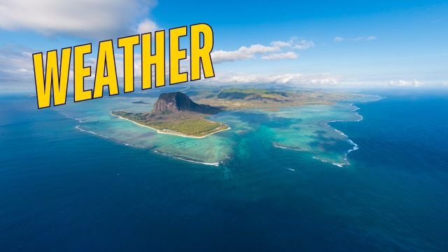
As we kick off a new week leading up to the holidays, the weather scenario is quite interesting. While the general atmosphere is calm with gentle breezes, we are seeing some localized instability that reminds us of the dynamic nature of our tropical climate. Overall, the conditions are favorable, but keep an eye out for afternoon changes, especially if you are on the western side of the island.
For this morning, the sky over the Central Plateau is clouded by high-altitude bands crossing from the West. Around 6:30 AM, parts of the North might have experienced a very light drizzle of about 1mm. However, broadly speaking, the weather for today is expected to be “more or less good.” The wind is notably gentle today, blowing from the East at an average speed of just 16 km/h, making outdoor conditions quite comfortable.
As we move into the afternoon, the situation will shift slightly. There is a distinct risk of rain developing in the West and parts of the Central Plateau. Sea conditions are manageable: waves are reaching 1.8 meters in the East and South, while the West and North enjoy calmer waters with waves of 1.3 meters on the reefs. High tide is scheduled for 1:31 PM, with low tides at 07:26 AM and 08:12 PM.
Over on Rodrigues, Pointe Canon saw 1.2mm of rain yesterday. Today, an instability zone is affecting the island between 7:30 AM and 9:00 AM, bringing rain. Areas like Pointe Coton, Saint Francois, Gravier, and Songes are likely to receive a decent amount of rainfall during this window. The wind there matches Mauritius at 16 km/h, with open sea waves of 1.8 meters. Meanwhile, around Agalega, the weather is veiled by high clouds, but active convective clouds are forming about 75km to their North-West.
Finally, regarding the tropical system we mentioned yesterday: It is located far to the North-East of Mauritius at coordinates 12.2 South and 102.6 East. It is moving West-South-West at a slow pace of 7 km/h. Currently, it remains at the stage of a Tropical Storm. The dry air in its vicinity is preventing it from intensifying further, which is good news for the wider region.
Have a wonderful week ahead!
You can view the LIVE weekly weather forecast for Mauritius by CLICKING HERE.
Cyclone updates and rough sea warnings can be followed HERE.